CIRCUIT LA FORGE QUENOT
Walking/pedestrian
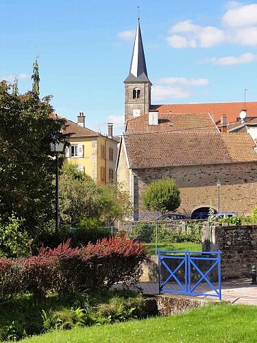
in La Vôge-les-Bains
10.9
km
Walks and hikes
3h 30min
Easy
- See all reviews
- 192 meters of difference in height
-
- Start altitude : 310 m
- End altitude : 311 m
- Maximum altitude : 376 m
- Minimum altitude : 286 m
- Total positive elevation : 192 m
- Total negative elevation : -192 m
- Max positive elevation : 46 m
- Min positive elevation : -25 m
