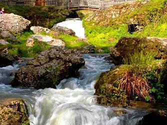
Circuit Le Gué du Saut n°1
Walks and hikes
,
Walking/pedestrian
in Xertigny
1.3
km
Loop
Walking/pedestrian
30min
Easy
- See all reviews
- 43 meters of difference in height
-
- Start altitude : 483 m
- End altitude : 483 m
- Maximum altitude : 492 m
- Minimum altitude : 459 m
- Total positive elevation : 43 m
- Total negative elevation : -42 m
- Max positive elevation : 22 m
- Min positive elevation : -25 m
