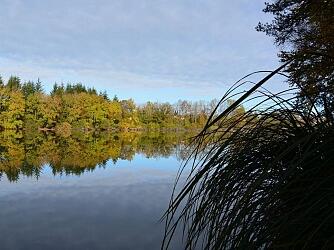
Circuit Le Roulier
Walks and hikes
,
Walking/pedestrian
in Xertigny
15.4
km
Loop
Walking/pedestrian
3h 40min
Medium
- See all reviews
- 301 meters of difference in height
-
- Start altitude : 563 m
- End altitude : 563 m
- Maximum altitude : 594 m
- Minimum altitude : 453 m
- Total positive elevation : 301 m
- Total negative elevation : -301 m
- Max positive elevation : 77 m
- Min positive elevation : -31 m
