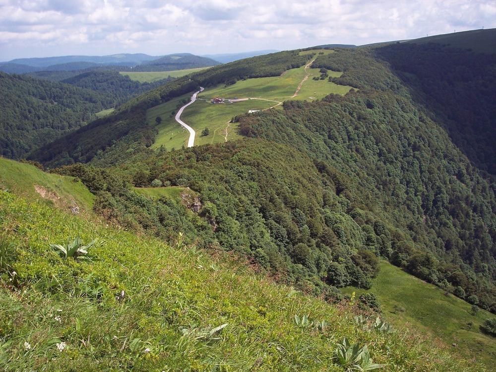
Circuit n°9 : Gérardmer - Col de la Schlucht
Touring cyclist
in Épinal
140.7
km
Loop
- See all reviews
- 1723 meters of difference in height
-
- Start altitude : 327 m
- End altitude : 328 m
- Maximum altitude : 1159 m
- Minimum altitude : 327 m
- Total positive elevation : 1723 m
- Total negative elevation : -1722 m
- Max positive elevation : 268 m
- Min positive elevation : -261 m
