CIRCUIT VTT N°15 LES CENSEAUX
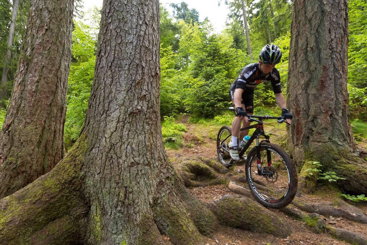
Mountain biking
in Le Clerjus
12.0
km
Loop
Mountain biking
1h
Easy
- See all reviews
- 241 meters of difference in height
-
- Start altitude : 482 m
- End altitude : 482 m
- Maximum altitude : 505 m
- Minimum altitude : 374 m
- Total positive elevation : 241 m
- Total negative elevation : -241 m
- Max positive elevation : 46 m
- Min positive elevation : -109 m
Services
-
-
Services
-
