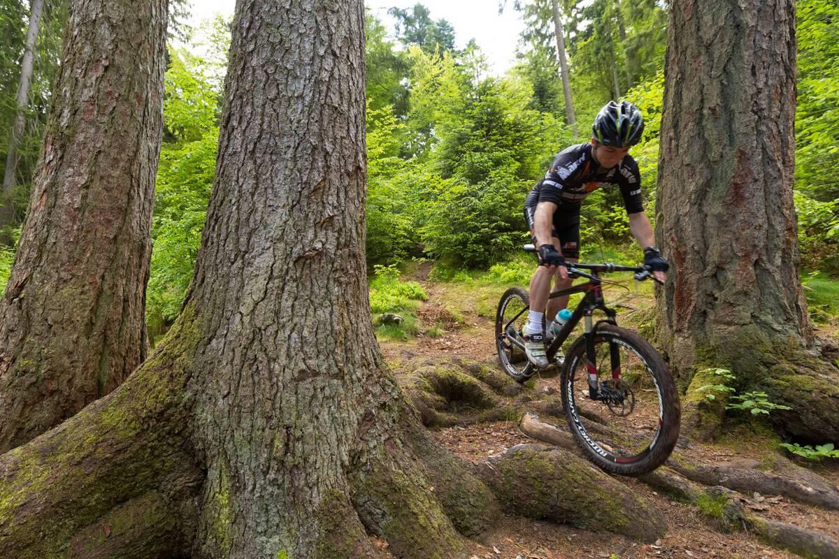
CIRCUIT VTT N°21 LA FAISANDERIE
Mountain biking
in Xertigny
3.8
km
Loop
Mountain biking
30min
Hard
- See all reviews
- 161 meters of difference in height
-
- Start altitude : 488 m
- End altitude : 489 m
- Maximum altitude : 573 m
- Minimum altitude : 488 m
- Total positive elevation : 161 m
- Total negative elevation : -161 m
- Max positive elevation : 30 m
- Min positive elevation : -27 m
Services
-
-
Services
-
