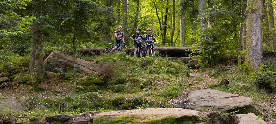
CIRCUIT VTT N°99 CHAPUY CHANTRÉ
Mountain biking
in Uriménil
28.5
km
Loop
Mountain biking
2h
Hard
- See all reviews
- 488 meters of difference in height
-
- Start altitude : 363 m
- End altitude : 361 m
- Maximum altitude : 504 m
- Minimum altitude : 357 m
- Total positive elevation : 488 m
- Total negative elevation : -490 m
- Max positive elevation : 63 m
- Min positive elevation : -68 m
Services
-
-
Services
-
