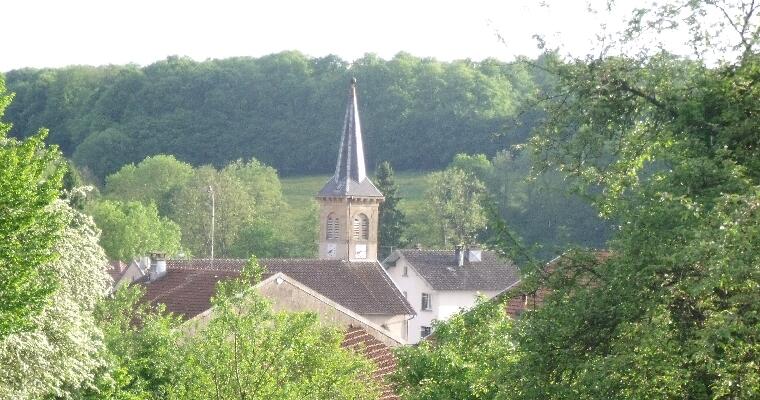
Circuit de Domèvre
Walking/pedestrian
in Domèvre-sur-Avière
8.2
km
Walking/pedestrian
2h
Easy
- See all reviews
- 139 meters of difference in height
-
- Start altitude : 331 m
- End altitude : 331 m
- Maximum altitude : 383 m
- Minimum altitude : 320 m
- Total positive elevation : 139 m
- Total negative elevation : -139 m
- Max positive elevation : 54 m
- Min positive elevation : -49 m
