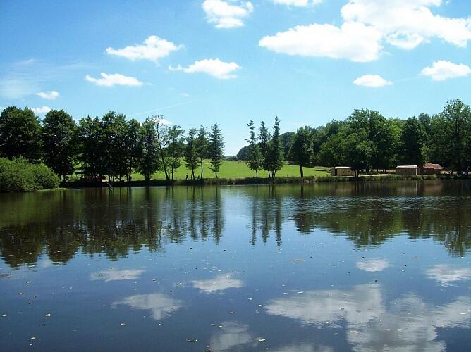
Circuit de l'Étang Lallemand
Walks and hikes
in Bains-les-Bains
9.4
km
Loop
Walking/pedestrian
3h
Easy
- See all reviews
- 150 meters of difference in height
-
- Start altitude : 311 m
- End altitude : 311 m
- Maximum altitude : 376 m
- Minimum altitude : 311 m
- Total positive elevation : 150 m
- Total negative elevation : -150 m
- Max positive elevation : 31 m
- Min positive elevation : -31 m
