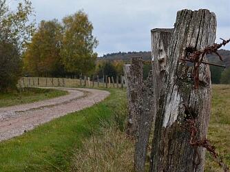
Circuit Le Rechentreux
Walks and hikes
,
Walking/pedestrian
in Xertigny
6.9
km
Loop
- See all reviews
- 133 meters of difference in height
-
- Start altitude : 483 m
- End altitude : 483 m
- Maximum altitude : 540 m
- Minimum altitude : 483 m
- Total positive elevation : 133 m
- Total negative elevation : -133 m
- Max positive elevation : 21 m
- Min positive elevation : -23 m
