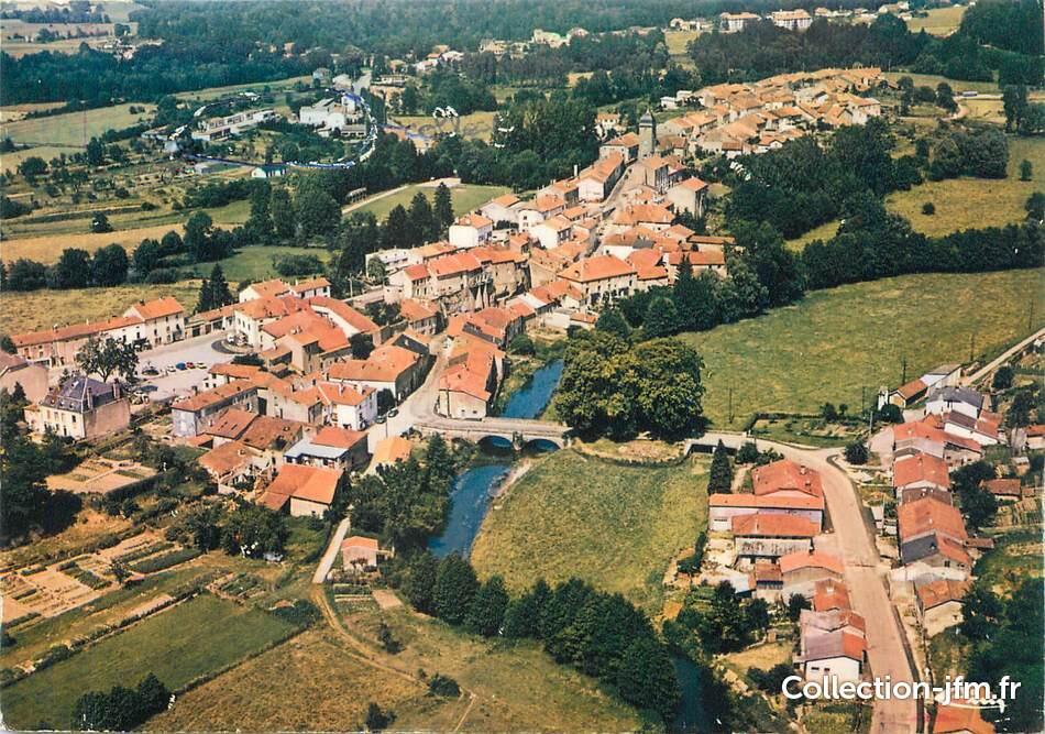
Circuit n°10 : Monthureux-sur-Saône
Touring cyclist
in Épinal
150.8
km
Loop
Touring cyclist
9h
Medium
- See all reviews
- 1118 meters of difference in height
-
- Start altitude : 327 m
- End altitude : 327 m
- Maximum altitude : 480 m
- Minimum altitude : 233 m
- Total positive elevation : 1118 m
- Total negative elevation : -1119 m
- Max positive elevation : 162 m
- Min positive elevation : -66 m
