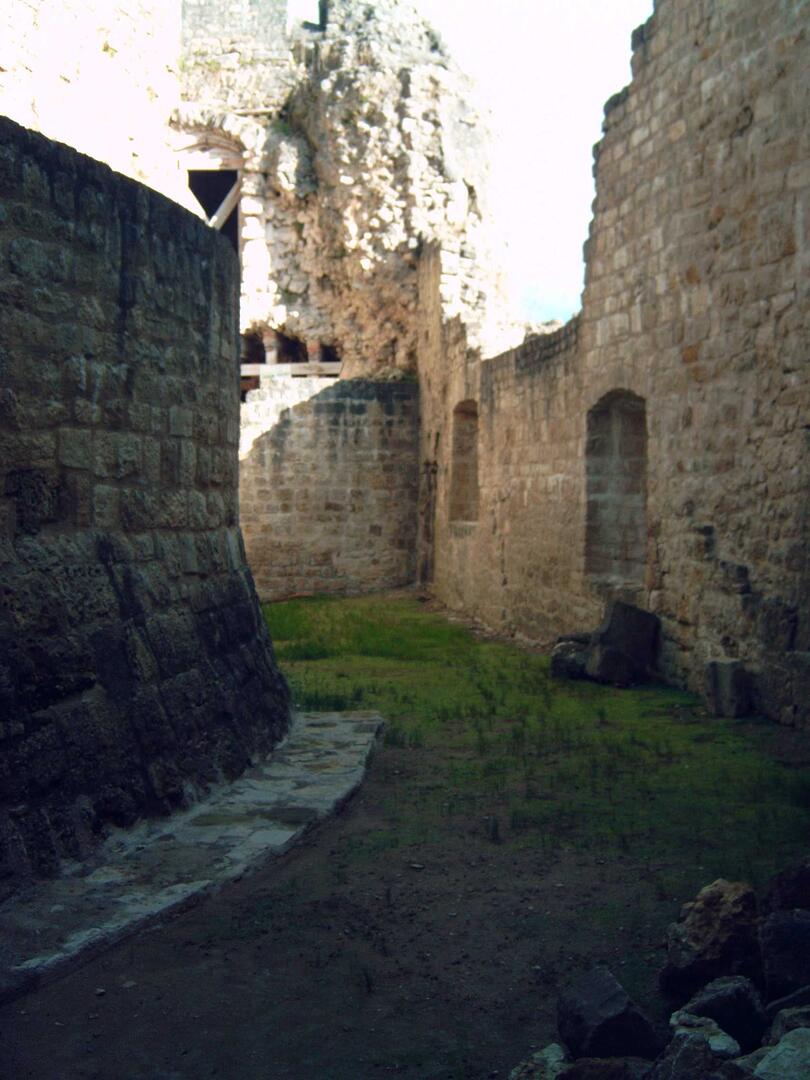
Circuit n°6 : Châtel-sur-Moselle
Touring cyclist
in Épinal
71.1
km
Loop
- See all reviews
- Points of interest
- 570 meters of difference in height
-
- Start altitude : 324 m
- End altitude : 322 m
- Maximum altitude : 416 m
- Minimum altitude : 267 m
- Total positive elevation : 570 m
- Total negative elevation : -572 m
- Max positive elevation : 111 m
- Min positive elevation : -81 m
