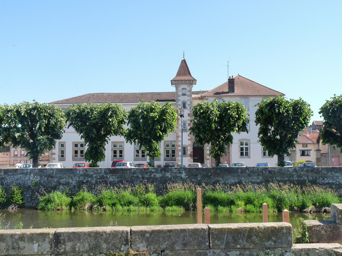
Circuit n°8 : Rambervillers
Touring cyclist
in Épinal
78.9
km
Loop
- See all reviews
- Points of interest
1
- 516 meters of difference in height
-
- Start altitude : 321 m
- End altitude : 320 m
- Maximum altitude : 393 m
- Minimum altitude : 266 m
- Total positive elevation : 516 m
- Total negative elevation : -517 m
- Max positive elevation : 51 m
- Min positive elevation : -67 m
