CIRCUIT VTT N°102 LA MALGRANGE
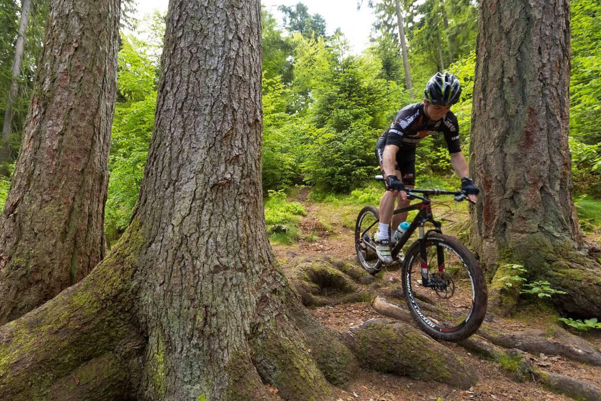
Mountain biking
in Arches
13.5
km
Loop
Mountain biking
1h
Easy
- See all reviews
- 444 meters of difference in height
-
- Start altitude : 358 m
- End altitude : 358 m
- Maximum altitude : 524 m
- Minimum altitude : 357 m
- Total positive elevation : 444 m
- Total negative elevation : -444 m
- Max positive elevation : 47 m
- Min positive elevation : -92 m
Services
-
-
Services
-
