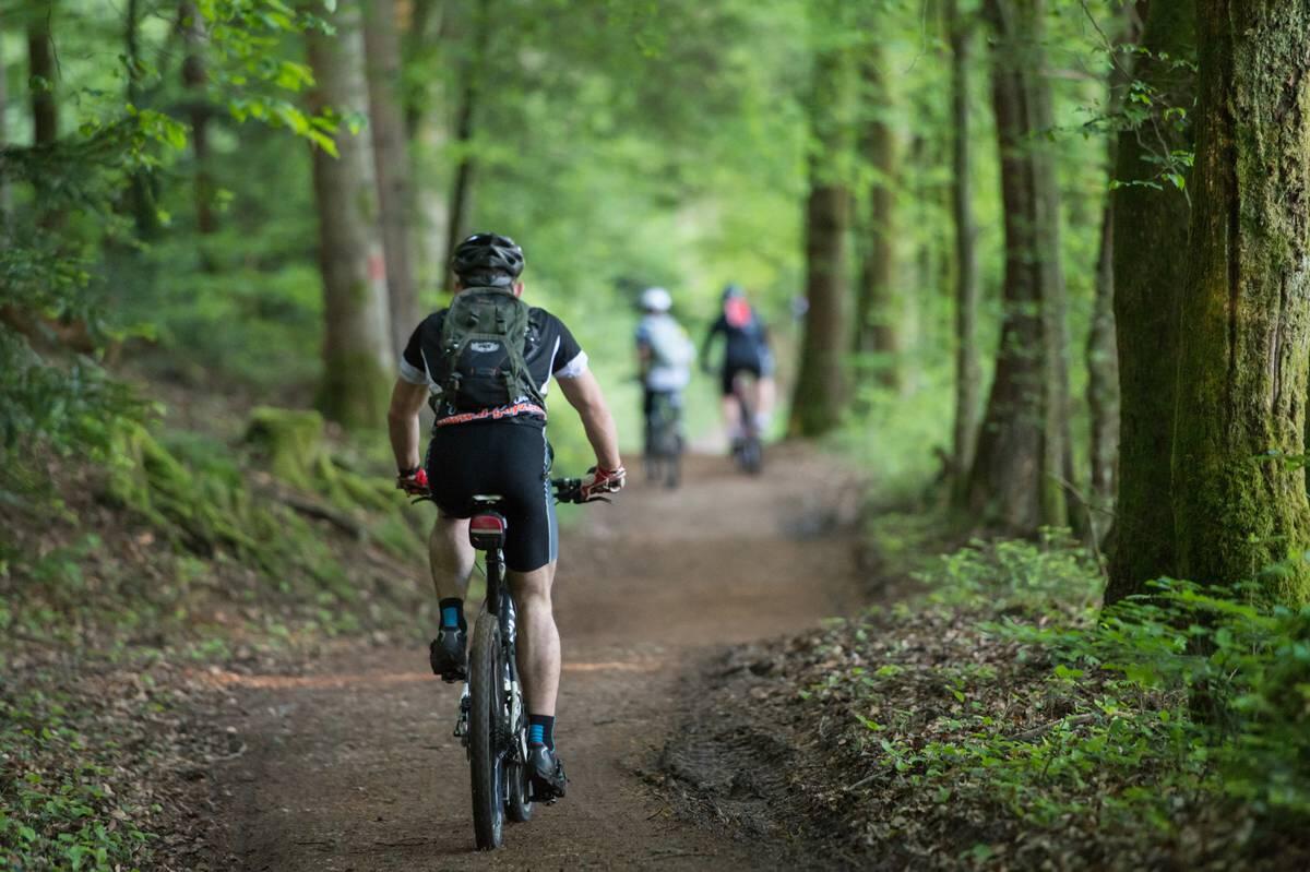
CIRCUIT VTT N°16 LA PICARDE
Mountain biking
in Le Clerjus
30.8
km
Loop
Mountain biking
3h
Hard
- See all reviews
- 581 meters of difference in height
-
- Start altitude : 482 m
- End altitude : 482 m
- Maximum altitude : 583 m
- Minimum altitude : 341 m
- Total positive elevation : 581 m
- Total negative elevation : -581 m
- Max positive elevation : 97 m
- Min positive elevation : -105 m
Services
-
-
Services
-
