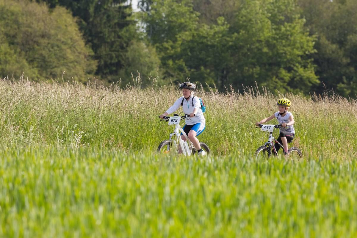
CIRCUIT VTT N°17 LES MAISONS BRULÉES
Mountain biking
in Le Clerjus
21.4
km
Loop
Mountain biking
2h
Easy
- See all reviews
- 427 meters of difference in height
-
- Start altitude : 482 m
- End altitude : 482 m
- Maximum altitude : 583 m
- Minimum altitude : 374 m
- Total positive elevation : 427 m
- Total negative elevation : -427 m
- Max positive elevation : 66 m
- Min positive elevation : -105 m
Services
-
-
Services
-
