CIRCUIT VTT N°22 LE FRAIS BARIL
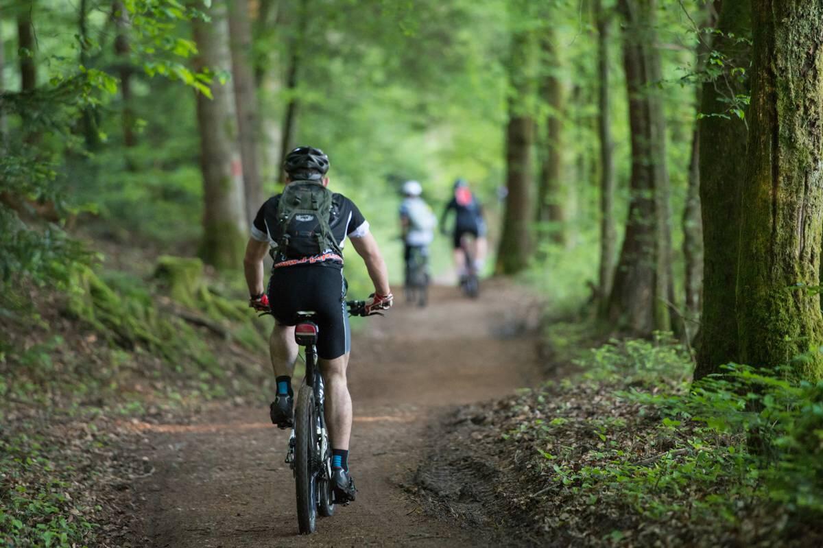
Mountain biking
in Xertigny
18.3
km
Loop
Mountain biking
50min
Easy
- See all reviews
- 517 meters of difference in height
-
- Start altitude : 463 m
- End altitude : 460 m
- Maximum altitude : 624 m
- Minimum altitude : 416 m
- Total positive elevation : 517 m
- Total negative elevation : -519 m
- Max positive elevation : 51 m
- Min positive elevation : -111 m
Services
-
-
Services
-
