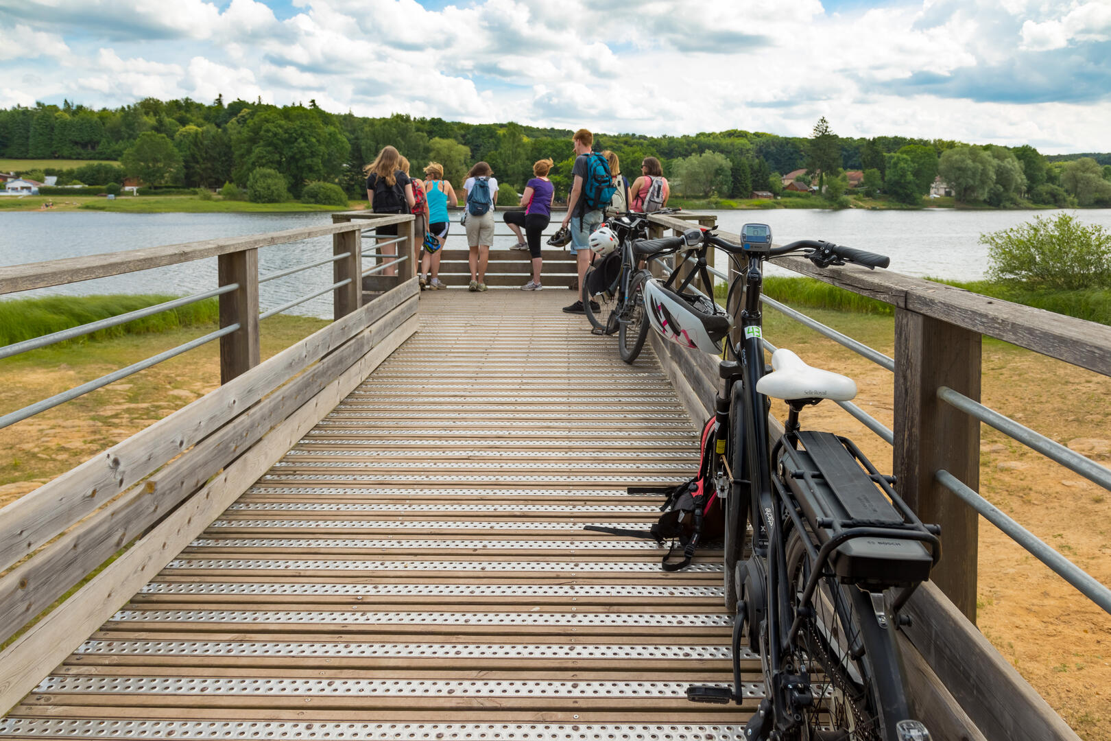
Aller Epinal-Bouzey
Walking/pedestrian
in Épinal
13.1
km
Walking/pedestrian
4h 30min
Easy
- See all reviews
- 130 meters of difference in height
-
- Start altitude : 318 m
- End altitude : 371 m
- Maximum altitude : 383 m
- Minimum altitude : 313 m
- Total positive elevation : 130 m
- Total negative elevation : -77 m
- Max positive elevation : 18 m
- Min positive elevation : -9 m
