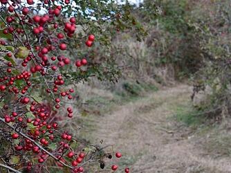
Circuit Les Alnouzes
Walks and hikes
,
Walking/pedestrian
in Xertigny
14.8
km
Loop
Walking/pedestrian
3h 30min
Medium
- See all reviews
- 292 meters of difference in height
-
- Start altitude : 464 m
- End altitude : 466 m
- Maximum altitude : 585 m
- Minimum altitude : 390 m
- Total positive elevation : 292 m
- Total negative elevation : -290 m
- Max positive elevation : 115 m
- Min positive elevation : -78 m
