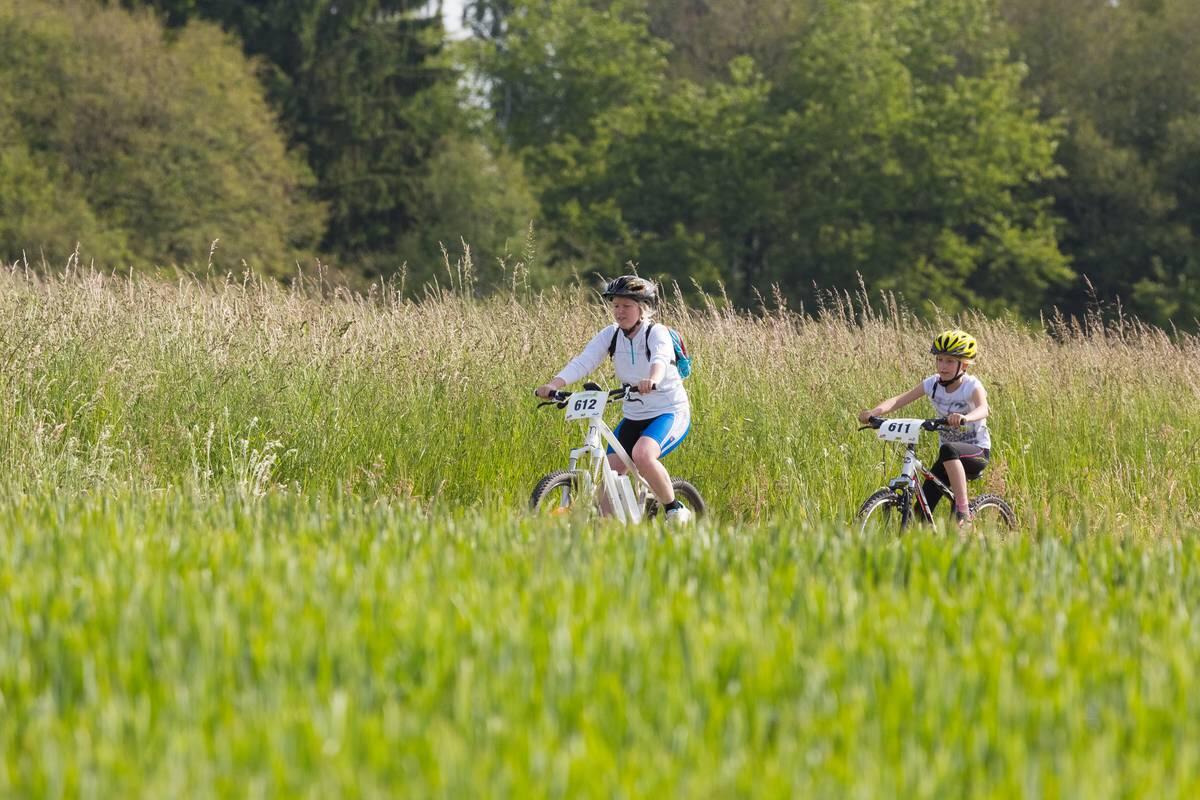
CIRCUIT VTT N°11 LE GROS CHÊNE
Mountain biking
in Gruey-lès-Surance
11.9
km
Loop
Mountain biking
1h
Easy
- See all reviews
- 235 meters of difference in height
-
- Start altitude : 432 m
- End altitude : 430 m
- Maximum altitude : 466 m
- Minimum altitude : 319 m
- Total positive elevation : 235 m
- Total negative elevation : -237 m
- Max positive elevation : 80 m
- Min positive elevation : -36 m
Services
-
-
Services
-
